


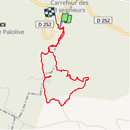


12.5 km | 15.3 km-effort

User


FREE GPS app for hiking
 SityTrail
IGN / Geographical institutes
SityTrail World
The world is yours!
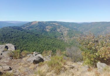
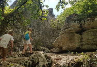
Trail Walking of 2.1 km to be discovered at Auvergne-Rhône-Alpes, Ardèche, Les Vans. This trail is proposed by sandrineh.
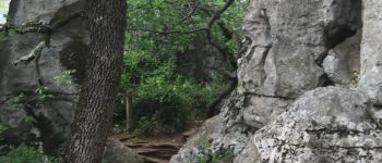
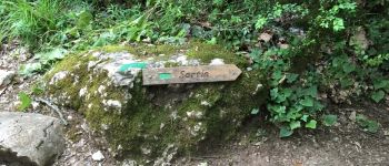
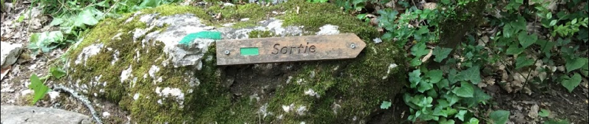
Depuis le parking des clairières. Le bestiaire, le labyrinthe. Cela commence comme une ballade digestive puis cela se transforme en expédition dans les rochers. Certains passages étroits. Prévoir de bonnes chaussures.


Walking

Walking
Walking
Walking

Walking

Walking

Mountain bike

Walking
Walking